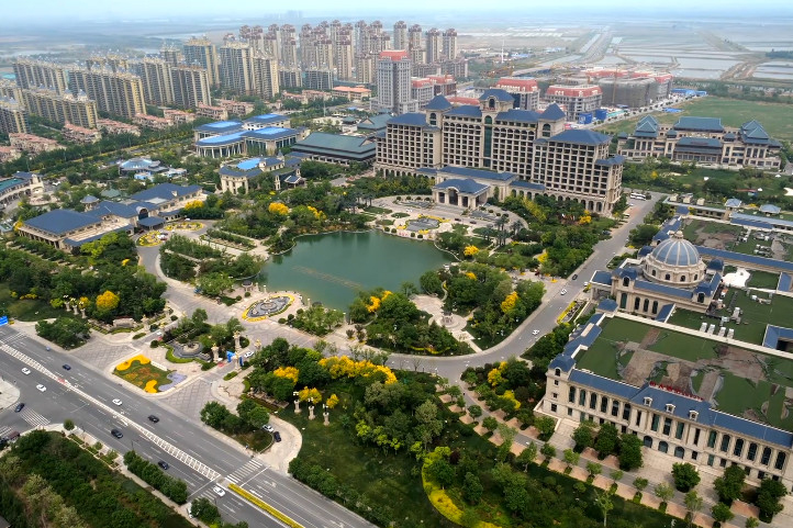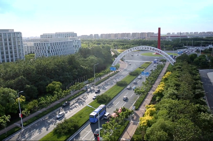
Dongli district is situated to the east of Tianjin, between the central urban area and the core area of Binhai New Area. The geographical coordinates of the district are between north latitude 39°00 ′– 39°14 ′, and east longitude 117°13 ′- 117°33 ′. It covers an area of 477.34 square kilometers, of which 255 square meters falls into the industrial functional area of Binhai New Area. It has a permanent resident population of 835,800. It has 11 sub-districts such as Zhangguizhuang, Fengnian Village, Wuxia and Wanxin as well as 107 community service centers.
Dongli district has a flat terrain, with the western part higher and the eastern part lower. The district is in a warm-temperature zone with a semi-humid continental monsoon climate. In 2024, the average annual temperature is 14.9℃ and average annual precipitation is 569.1 mm.

In 2024, Dongli district achieved 74.38 billion yuan ($10.44 billion) of gross regional product, a growth of 4.0 percent; 6.21 billion yuan of general public budget revenue, an increase of 5.9 percent. Per capita disposable income of residents reached 50,401 yuan, a rise of 4.2 percent.


